
Activity Feed › Discussion Forums › GNSS & Geodesy › Magnet Tools help
Magnet Tools help
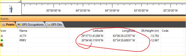
Posted by jt50 on September 20, 2020 at 3:44 amCan anyone point me to where to set the coordinates of the points to UTM?
It has
been a while since I used the software and I can’t seem to find where is the setting to use northing/easting instead of lat/long.
 Jerry Paraka replied 3 years ago 4 Members · 7 Replies
- 7 Replies


I haven’t used the software in a long time either. You would think it would be under Survey, then Display (or something similar). Not to be critical of TOPCON, but it would be to their advantage to post a series of YouTube help videos. All of the settings are not placed in logical locations from what I can remember.
MH
Got it. You have to select it from the New Job wizard. You can select WGS84 XYZ in the last tab of the wizard. Once selected I can’t find a way to switch from lat/long <-> xyz and vice versa. Unlike other software where you can switch on the fly.
- Posted by: @jt50
Unlike other software where you can switch on the fly.
https://www.topconpositioning.com/insights/five-faqs-about-magnet-field
4. Can MAGNET Field be customized to individual users?
The ??app?? based nature of MAGNET Field allows full customization of the look and layout of the software interface.
If certain feature menus are not used or terminology is confusing, simply hide it or change the name. These
configurations can be saved in .xml format if required and installed on any other Topcon controller. All changes
made can be returned to the default settings.I never knew this. Maybe this can make your life easier.
MH  Posted by: @jt50
Got it. You have to select it from the New Job wizard. You can select WGS84 XYZ in the last tab of the wizard. Once selected I can’t find a way to switch from lat/long <-> xyz and vice versa. Unlike other software where you can switch on the fly.
You certainly can switch datums on the fly with Magnet Tools.
Go to Configure > Coordinate System
To specify the Coordinate System for the Job:
- In Projection select the projection to be used from the drop-down list. Initially the list is empty. Click
 to activate projections necessary for work. More…
 - Select the Use Grid/Ground check box to enable transformation to ground coordinates for surveying. Click to set transformation parameters. After closing the Coordinate System dialog, the default display system will be Ground.
Find out more on Grid to Ground transformation. - In Datum specify the datum as required for the projection selected. Select the datum from the drop-down list.
- In Projection select the projection to be used from the drop-down list. Initially the list is empty. Click
If NAD 27 datum is selected, you can use one of the following:
- Predefined parameters; in this case the application will apply parameters NAD27 from the its own database for transformation between NAD27 and NAD83_NO_TRANS datums
- NADCON; in this case the application will apply the Federal standard (NADCON program) for NAD 27 to NAD83_NO_TRANS datum transformations
If ATS77(CSRS), NAD 27(CSRS) or NAD 83(CSRS) datum is selected, you can use one of the following:
- Predefined parameters; in this case the application will apply parameters ATS77(CSRS), NAD 27(CSRS) or NAD 83(CSRS) from the its own database for transformation between the datum and NAD83_NO_TRANS datums
- File(N/A) ; in this case the application will apply datum data from the Click to select the required
*.gsbfile.
Note: The NAD83 datum has three independent realizations in MAGNET Field with respect to the WGS84 datum: NAD83, NAD83(ITRF96) and NAD83_NO_TRANS. More…
Click
to add a custom datum if necessary. More…- Select Geoid from the drop-down list. The job will refer to the selected geoid file to convert ellipsoidal heights to elevations. Click to add the geoid to the list. More…
Optionally, when ATS77(CSRS), or NAD 27(CSRS), or NAD 83(CSRS) datum is selected and you specified a desired *.gsb file for datum transformation, you can choose the transformation direction. To do this, select the Advanced CSRS Options from the pop-up menu that displays by clicking
 in the top left corner.
Thanks for the “Job Configuration” tip. Was confused about using it because I thought it was only for the NADCON conversion.

Just click on Job, on the right hand corner, you will see the Job Configuration, click there and you will see coordinate system.
Log in to reply.