
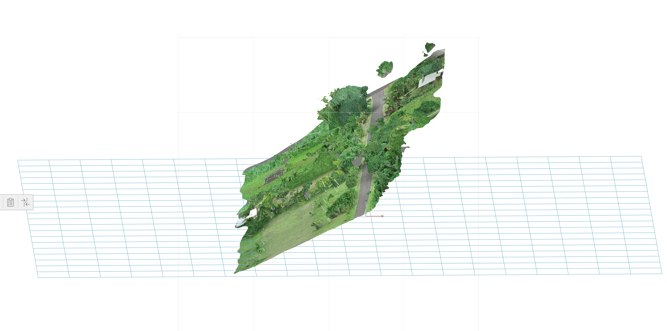
Drone mosaic tilt
We’ve been dabbling in drone aerial imagery, using P4pro (vertical shots) and Recap, getting some relatively good results, however the occasional odd-ball, like this one where the mosaic is titled. It has four GCP points in it, although they are only on the road, i.e. not out to the sides. Through Recap photo I can “rotate the gimbal” to correct the tilt and get a decent plan image out of it. But does anyone know an obvious reason why the processing spat out a tilted mosaic?

Log in to reply.