
NGS storm imagery for Dorian posted to site
As part of its mission the US NGS flies aerial photography over storm-effected areas. Imagery is posted to their web site. Look to be high quality. Perhaps even useful for those working in areas impacted by the storm.
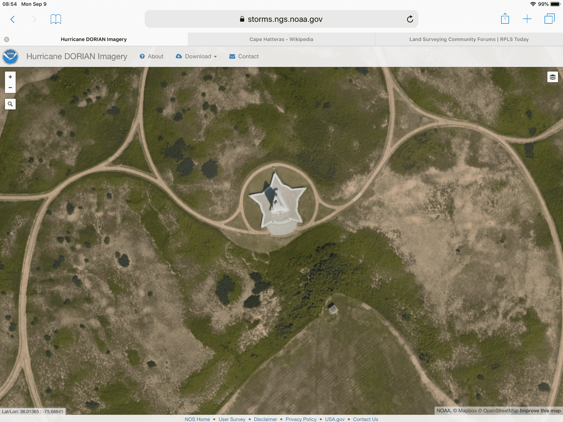
I once was an avid windsurfer and would spend a fair amount of time near the site shown in the image below and linked here:
https://storms.ngs.noaa.gov/storms/dorian/index.html#19/36.01413/-75.66788
The link above should be the area of the image below. This appears to be the highest level of magnification possible.


Log in to reply.