
Kentucky Jackson Purchase
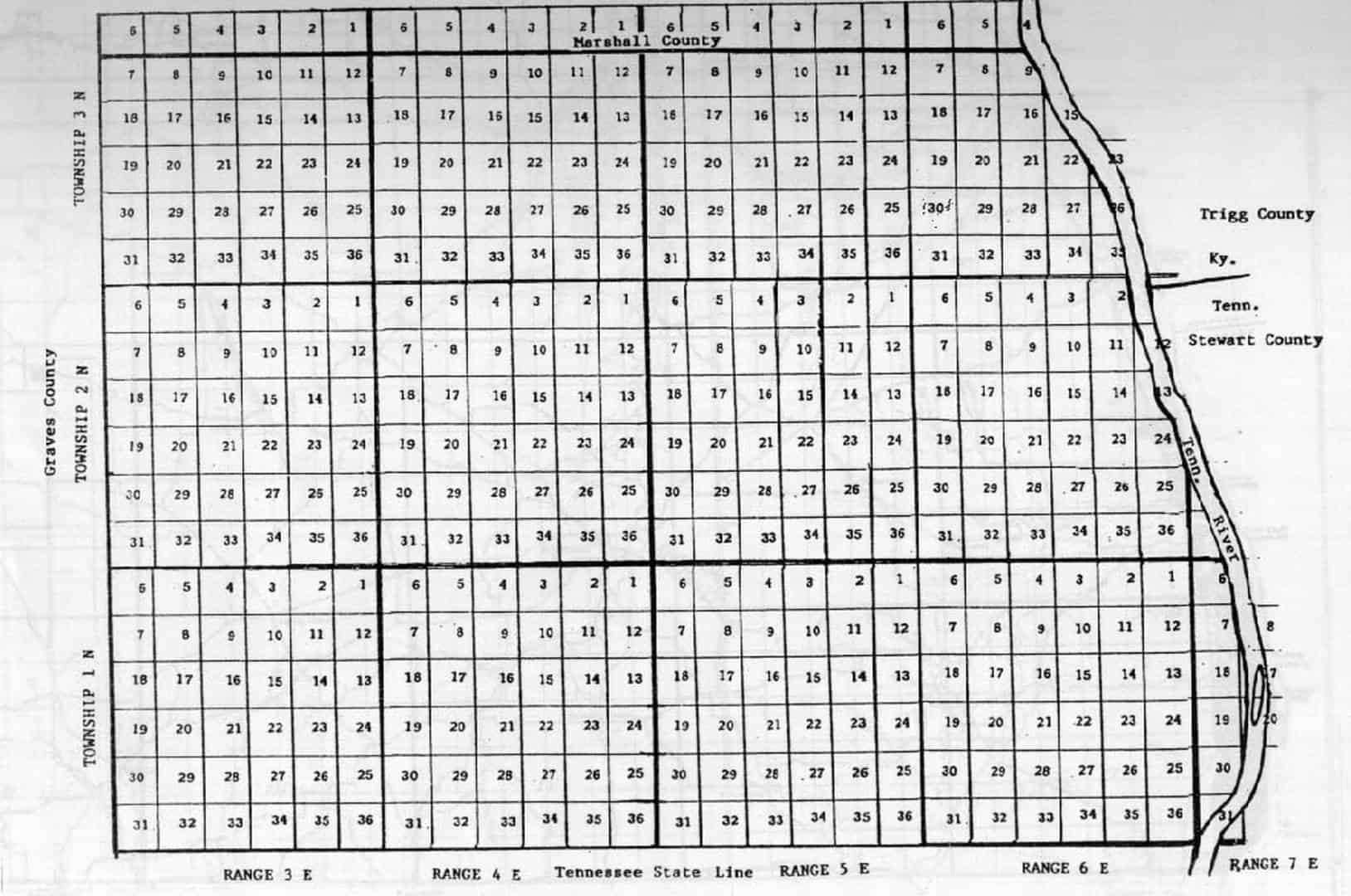
Got tired of not having an overlay of the Jackson Purchase for our mapping. I am in the process of trying to digitize the Loughridge map. For those who don’t know there is an area on the TN line that was subdivided in the Section Township Ranges. Does anyone have any good resources on this? ie Survey Instructions? I can’t find anything at BLM. I have include an image of one county I found online which is just part of the Jackson Purchase. Hopefully when it’s done we will have a good shapefile rubbersheeted to land lines. Also does anyone know where to find the coordinates for the TN/KY line for the GPS Survey done a few years back I think it was a joint project of TAPS and KAPS?


Log in to reply.