
USGS Benchmarks
I was given scanned pdf’s of all of the USGS benchmark paper descriptions that the Rolla, MO office has scanned.
These are in 15′ quadrangles, and were previously available by calling the Rolla USGS office and asking for them. They are arranged by state and the 15′ quad name. I realize that the 15′ quad name is not always easy to find, but there is a document in the root of the ftp directory that explains how to find the 15′ quad name and also briefly explains the data available.
If your area is not available, do not complain to me, I am just offering these as I received them.
I have made these available by http://ftp...(case sensitive)
login: USGSBM
password: USGS_Benchmark
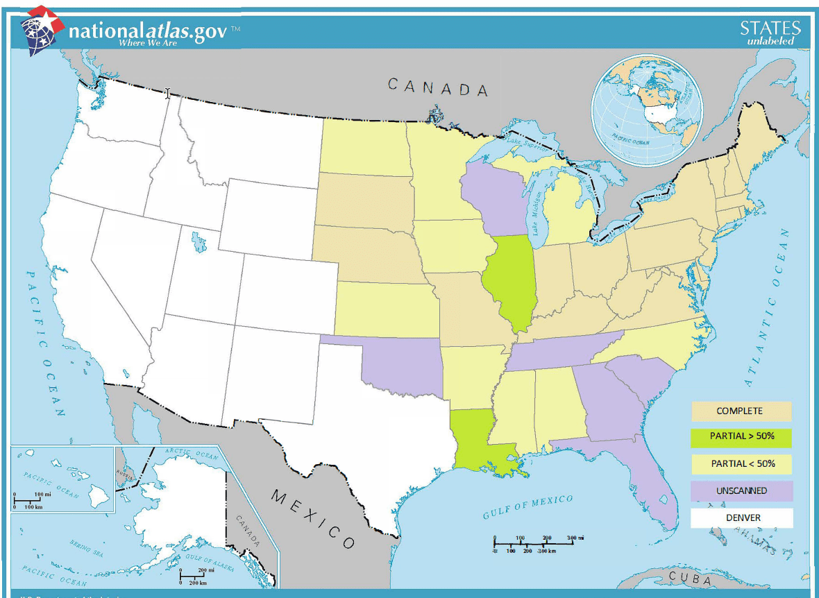
Here is a map of what is available (according to the document but not checked). I note that a few from Wyoming and Montana are included but not shaded on the map.


Log in to reply.